
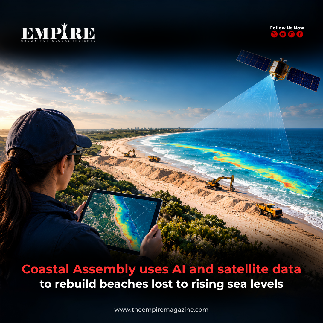
Coastal Assembly uses AI and satellite data to rebuild beaches lost to rising sea levels as climate change continues to threaten coastal communities around the world. The project represents a new approach to coastal restoration, combining artificial intelligence, satellite monitoring, and environmental data to understand how beaches change and how they can be protected.
Rising sea levels, stronger storms, and coastal erosion are affecting beaches and shoreline ecosystems in many regions. Traditional beach restoration methods often depend on physical surveys, engineering studies, and periodic maintenance. However, advances in artificial intelligence and satellite technology are creating new ways to monitor coastal changes and design restoration strategies.
By using large amounts of environmental data, AI systems can help researchers analyse shoreline movement, identify erosion patterns, and support decisions about where and how restoration efforts should take place.
Coastal Assembly Uses AI and Satellite Data to Monitor Changing Shorelines
Coastal Assembly uses AI and satellite data to improve understanding of how beaches are changing over time.
Coastal areas are constantly changing due to natural processes such as:
- Ocean waves
- Tides
- Storm activity
- Sediment movement
- Sea-level changes
Monitoring these changes has traditionally required physical measurements collected by researchers in the field.
Satellite technology has changed this process by allowing scientists to observe coastlines from space. Satellites can capture detailed information about shoreline position, vegetation changes, water conditions, and land movement.
AI systems can then analyse this information to identify patterns that may not be easily detected through manual observation.
Coastal Assembly Uses AI and Satellite Data for Data-Driven Beach Restoration
One of the biggest challenges in coastal restoration is understanding exactly where erosion is occurring and how quickly beaches are disappearing.
Artificial intelligence can help process large datasets collected from:
- Satellite images
- Climate records
- Ocean data
- Coastal surveys
- Geographic information systems
By analysing this information, AI tools can help researchers create models showing how coastlines may change under different conditions.
These insights can support restoration planning by helping identify:
Areas at High Risk
AI models can highlight locations where beaches are experiencing significant erosion.
Restoration Priorities
Data analysis can help determine which coastal areas may require immediate attention.
Long-Term Planning
Researchers can use predictions to design strategies that support future coastal resilience.
Coastal Assembly Uses AI and Satellite Data to Address Rising Sea-Level Challenges
Sea-level rise is one of the major environmental challenges affecting coastal regions.
As global temperatures increase, melting ice sheets and thermal expansion of seawater contribute to rising ocean levels. This can increase pressure on beaches, wetlands, and coastal infrastructure.
Beach erosion can create several challenges, including:
- Loss of natural coastal protection
- Damage to habitats
- Threats to communities
- Reduced tourism value
- Increased flooding risks
Coastal restoration projects aim to rebuild natural barriers and strengthen shoreline resilience.
AI-based approaches can support these efforts by providing more detailed information about coastal conditions.
Coastal Assembly Uses AI and Satellite Data to Improve Coastal Management
Modern coastal management increasingly depends on technology.
Instead of relying only on traditional engineering methods, researchers are combining environmental science with digital tools.
AI-supported coastal management can help with:
Shoreline Mapping
Satellite images can provide updated maps showing changes in coastline structures.
Erosion Analysis
AI can identify patterns in beach loss and sediment movement.
Climate Adaptation Planning
Data-driven models can support decisions about protecting vulnerable coastal areas.
These technologies allow scientists and planners to better understand complex coastal systems.
Coastal Assembly Uses AI and Satellite Data Alongside Climate Innovation
The use of artificial intelligence for environmental challenges is part of a larger movement toward technology-driven climate solutions.
AI is being explored in areas such as:
- Climate modelling
- Renewable energy optimisation
- Weather prediction
- Disaster monitoring
- Environmental conservation
The ability of AI systems to process large amounts of information makes them useful for analysing complex environmental problems.
Coastal restoration is one example of how artificial intelligence is expanding beyond business and technology applications into climate and environmental protection.
Coastal Assembly Uses AI and Satellite Data to Support Future Coastal Protection
Protecting beaches requires more than restoring damaged areas. Long-term coastal management requires understanding how shorelines may change in the future.
AI-based systems can support planning by helping researchers study:
Future Erosion Patterns
Models can analyse historical and current data to understand possible future changes.
Coastal Ecosystems
Technology can help monitor habitats and environmental conditions.
Restoration Effectiveness
Data can show whether restoration projects are achieving their goals.
These capabilities can help governments, scientists, and environmental organisations make better-informed decisions.
Coastal Assembly Uses AI and Satellite Data While Facing Environmental Challenges
Although AI technology provides new opportunities, coastal restoration remains a complex challenge.
Several factors affect the success of beach restoration projects:
Natural Coastal Processes
Beaches are constantly shaped by waves, currents, and weather conditions.
Climate Uncertainty
Future sea-level changes and extreme weather events are difficult to predict.
Project Costs
Large-scale restoration efforts require significant investment.
Local Environmental Factors
Every coastline has unique conditions that influence restoration outcomes.
AI can provide valuable information, but successful coastal protection requires collaboration between scientists, engineers, governments, and local communities.
Coastal Assembly Uses AI and Satellite Data to Create Smarter Climate Solutions
The combination of artificial intelligence and satellite technology represents a new approach to environmental problem-solving.
By analysing coastal data, AI can help researchers understand changing landscapes and develop more effective restoration strategies.
The same technology transformation can be seen across industries where data and artificial intelligence are being used to solve complex challenges.
From climate monitoring to advanced energy systems, technology is becoming an important tool for building more resilient communities.
Read more technology and innovation insights here:
Follow The Empire Magazine for global business, technology, innovation, and leadership insights: https://theempiremagazine.com/worlds-first-laser-fusion-power-station/
Facebook: https://www.facebook.com/profile.php?id=61573749076160
Instagram: https://www.instagram.com/the_empire_magazine/
The Empire Magazine | Crown For Global Insights